Webinar: Mapping Wetland Inundation Dynamics Using Multi-Source Satellite Data

- This event has passed.
Webinar: Mapping Wetland Inundation Dynamics Using Multi-Source Satellite Data
July 19, 2017 @ 12:00 pm
The Association of State Wetland Managers presents this webinar as part of their 2017 Future Wetland Mapping Consortium.
Presenter:
Ben DeVries, Post-Doctoral Research Associate, Department of Geographical Sciences, University of Maryland
Abstract:
While the increasing availability of Earth observation has led to impressive advances in automated land cover mapping algorithms and products, wetlands often remain insufficiently or inconsistently represented in land cover products. On the other hand, while wetland inventories are able to provide significantly more thematic detail than general land cover products, their production usually relies on highly manual, static and expensive mapping methods. Surface inundation in wetlands is particularly difficult to quantify, given the complexity of the mixed water-vegetation-soil reflectance signatures as well as the highly dynamic nature of inundation in most wetland ecosystems. Optical data, such as those from the Landsat and Sentinel-2 satellite constellations, have been shown to be capable of detecting surface inundation at medium spatial resolution (~30m), allowing for the mapping of long-term trends. On the other hand, radar data are increasingly used to track surface inundation at regular time intervals, owing to the ability of radar energy to penetrate clouds. Despite these advantages, the temporal resolution of any single satellite sensor is often insufficient to adequately monitor surface inundation in wetlands, given the dynamic and often ephemeral nature of surface hydrology. New mapping approaches based on the fusion of optical and radar data streams shows promise in establishing regular fine-temporal-resolution records of wetland inundation. Multi-source data products related to wetland inundation are expected to support the ongoing development and updating of national and regional wetland inventories, support greenhouse gas modelling studies and the identification and quantification of wetland ecosystems.
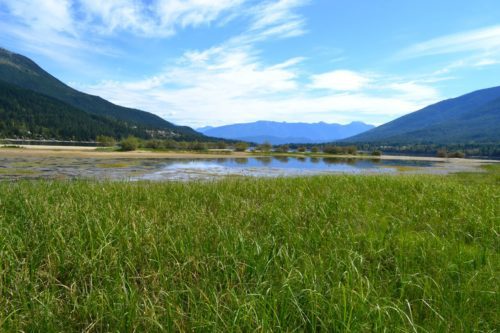
Join us for more stewardship events on Kootenay Lake! Like us on Facebook to receive updates and be part of the conversation.